Showing posts with label Sunrise. Show all posts

Tuesday, November 26, 2019, Pie Day with Steve and Angie, Weatherford, TX


Another beautiful sunrise at the ranch. It was easy to see why Steve and Angie wanted to build on this property. Colorful sunrises and sunsets are the norm here unless it is completely overcast.


That color did not last this morning as the clouds moved in quickly. My hair was getting unruly so I improvised for the barber. I used our 150 watt inverter on my telescope 12 volt battery and the outdoor salon was ready for business.


Steve said there will never be any furniture moving concerns with this great doorway. The door opened normally but then the adjacent glass panels slid over and pivoted opening up the great room to the outdoors.


A wide open kitchen with custom cabinets and shelves and some of the most gorgeous granite we have ever seen was perfect for entertaining a mob of friends and relatives.


Steve did all of the tile work himself and his years of experience showed - it looked great! Yes we tried out the shower with the endless hot water to get ready for Pie Day.


I think Steve was really happy with his workshop. It measured 60 feet by 40 feet with about a 10 foot ceiling. We were envious - Joani and I have said for a long time how much we would like to have such a space.


Angie spoils her clients and invites them all to "Pie Day" every Tuesday before Thanksgiving. Everyone mingles and has something to eat before leaving with a beautiful pie of their choice (pumpkin, apple or pecan). Joani and I helped set things up and had a great time talking with her clients.


There was plenty of food left over that will be feeding Steve and Angie for the next week. After a quick clean up we headed back to the ranch for adult libations and lively conversation. Not too late though - tomorrow was a moving day.

Monday, May 22, 2017, Grand Canyon Sunrise


We saw the Grand Canyon at sunset a few days ago, so it only made sense to make our second visit at sunrise. Unfortunately, with our campsite more than 50 miles from the park that meant we had to leave at 4:00 am and drive in the dark. We had plenty of company on the highway with the same plan and when we reached the canyon rim we found there was a surprisingly large crowd. I think a lot of people find the sunrise to be a moving or maybe even a spiritual experience.

We drove right past the Mather Point parking lot (where most people stop) and went straight to the Yavapai Point lot hoping for a smaller crowd.  It paid off, but it wasn't long before the crowd grew.

5:17am

The light changes rapidly with the rising sun and the same features look markedly different. 

5:22am
The sun finally peeked over the East rim and the cameras started clicking.

5:23am

5:26am

5:39am

Once the sun cleared the canyon rim and we had taken our first few hundred pictures, we walked along the Rim Trail to the Grand Canyon Village. The trail was level and paved with beautiful, expansive views every step along the length of its 1.3 miles. Our average pace was pretty slow as we stopped along the way for a few hundred more pictures.

6:02am

6:27am
"Trail of Time" is part of the Rim Trail that runs between the Yavapai Museum and the Grand Canyon Village.

6:35am

6:40am

6:48am

6:56am

7:00am

7:05am

7:21am

7:49am

7:57am

Walking back to the car took a lot less time because we were in "picture overload." Of course, we had already captured the canyon in the best light for the day. We drove to the village and found a front row parking spot by the Verkamp's Visitor Center. The buildings at the Grand Canyon Village were all around 100 years old. Below is the El Tovar Hotel. While it was interesting, it was no match for the beauty of the canyon. 

8:51am

9:59am

10:11am

The Hopi House was an interesting mix of store and art gallery. We managed to find a beautiful piece of pottery that will serve as a reminder of our visit when we again have a home base to display it.

11:39am
Hopi House is another masterpiece by architect Mary E. J. Colter.


More than 20 miles east of the Canyon Village was the Desert View Watchtower. It was an architectural work of art. Designed by Mary Elizabeth Jane Colter, the structure was inspired by the architecture of the ancestral Puebloan people of the Colorado Plateau.


Fred Kabotie, a Hopi Indian from Second Mesa, AZ, painted the murals that represent the physical and spiritual origins of Hopi life.


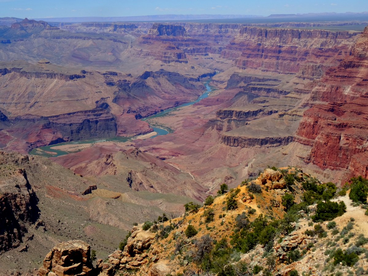
Being further east, the canyon was not as deep and the Colorado River was much more visible. We will have to come back again at sunrise to fully experience the color in the canyon walls.

1:32pm
This is the view from the top of the tower.


I probably shouldn't have been sitting on this wall, but in my defense, Joani made me do it.

Wednesday, October 26, 2016


Coastal Drive on the south side of the Klamath River delta is another nice drive with several impressive overlooks.  The road to the High Bluff Overlook Picnic area is steep, narrow and winding, but well worth the effort - just drive slowly and watch for crazies.  We were here three years ago and might have had a prettier day, but I mean, come on, the coast is absolutely gorgeous rain or shine!

We continued the loop drive (Coastal Drive connecting to the Newton B. Drury Scenic Parkway was closed except to hikers) and passed some interesting old barns that were actually WWII radar installations made to look like farm buildings.  There was no angle where the buildings looked like anything more interesting than a patch of wall or rooftop.  I don't know how much we could have seen since we were not in the mood for a hike down a steep, wet, overgrown trail and we were more in the mood for exploration by car.


In the picture below, the boundary line between the mix of the Klamath River fresh water and the salty sea water was evident in the slight color difference.


On the northern side of the river mouth is the Requa overlook we like to frequent anytime there is a chance of an interesting sunset.  Today the sky was too overcast to wait around and watch the sun slip below the horizon.


Friday, December 11, 2015


I had seen several nice sunrises while walking Sam.  Today I remembered to take a camera and nature made it worthwhile.


I loved how the red in the sunrise painted the vegetation giving it a lot more interest than you can see at high noon.


While getting ready to pull out I found myself coughing quite a bit. Our neighbor pointed out that everyone was coughing.  She said it was the "red tide".  She was absolutely correct - everyone walking by seemed to have the same hack.  Warren and Erin a few sites away stopped to chat and Erin said Warren never gets sick, but he was coughing and sniffling.  I vaguely remembered hearing about the red tide on the local news.  Later in the day, after moving away from the coast, I noticed my cough was gone - a very strange little quirk of life on the seashore.

Our next reservation was at another Corps of Engineers facility. Eastbank Campground was on Lake Seminole just over the state line in Georgia.  It was 181.0 miles (75,862.8 total) east, just about 40 miles west of Tallahassee, FL.  I decided to empty the tanks on arrival at Eastbank to get us on the road earlier since we were also crossing back into the Eastern time zone.  Unfortunately, the dump station at Eastbank was not easily accessible, but we got'er done and settled into our nice lakeside site.


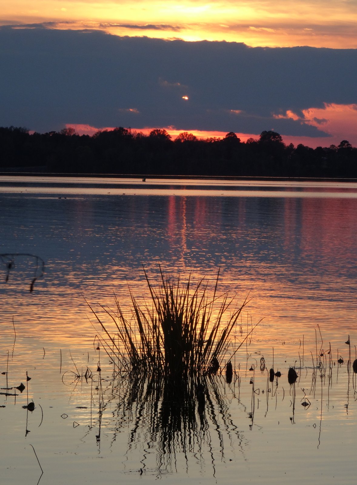
The weather was perfect for another beautiful sunset.  


Does it get any better than starting the day with a beautiful sunrise and ending the day with a beautiful sunset?

Friday, October 31, 2014


Another trip to the Needles District (southern area of Canyonlands National Park) was on our agenda, this time to catch the sunrise.  We arrived in the dark and set up at Pothole Point with thirty minutes to spare.  Fortunately, there was very little wind to accompany the biting cold.  From our position, we had a 360-degree view of the horizon.  It was difficult to say which direction yielded our favorite views - we liked them all.

What a magical morning!  It felt like we had the park to ourselves.

We drove to Pot Hole Point, found the tree surrounded by sandstone, and managed to climb up on the rise - all in the dark.

The peak in the picture below was named North Six-shooter Point.  It's in a lot of our pictures and when we were closer it did kind of remind us of an old revolver pointing straight up.  There was a South Sixshooter point as well, but it was hidden in this picture. 

Ok, it was cold, but the sights made it worth the discomfort.

It was 7:30 am and the Needles were barely visible, but the sky was alive!


Below, at the very right edge of the picture, was the end of the mesa where the Canyonlands Island in the Sky Grand View Point Overlook was located.   


The sun played peek-a-boo, poking through the clouds and...

...finally made an appearance on the Needles.


The colors around us were changing continuously...

...as a result of the sun filtering through the clouds, here and there.

One minute a streak of sandstone would be raspberry red...

...and the next, it would be peachy salmon.

The clouds were trying to steal the show.

This freaked me out a bit, it was so, so cool!  I had never heard of anti-crepuscular rays (David even knew what they were called).

Our back was to the sun, yet we could see the rays, they seemed to be converging to one point (an illusion). (Seen in the previous picture above and at the far left of this picture)


A tall desert good morning selfie!

It was time to say goodbye to our perch atop the sandstone at Pothole Point and explore more of the Needles section of the park.  Thawing out in the car played no part in the timing of our departure!

We decided to venture down Cave Spring Road.

"Fall" followed us with all its glory!

First, we explored the gravel road out to Horse Canyon, but the hikes to prominent features were too long, 7.5 to 10 miles and Sam was with us (he was our excuse to skip the long hikes).  We backtracked to Cave Spring Road and continued to the Cave Spring trailhead.


The Cave Spring Trail was a billed as a 0.6-mile round-trip, but I suspect it was more.  It meandered past a "cowboy camp" in a sandstone alcove, (interesting).


The trail took us past a spring (with very little water) tucked away under a massive sandstone overhang.

Who'd guess that you could find Southern Maidenhair Fern in the desert!

Cave Spring offered a few Petroglyphs, but no information was given estimating their age.

The trail quickly ascends...

...with the help of two ladders.

After climbing a gently sloped expanse of sandstone slick rock...

...you have a spectacular view in all directions.

Make sure that you climb all the way to the top of the bright red layer...

...or you will miss some of these vistas.

The sun continued to play peek-a-boo through the clouds.

The climb back down was quite easy, just follow the cairns.

I imagine, in the heat of the summer, these sandstone overhangs would offer a welcome respite from the heat.

It was only 11:30 am, but it felt like we had done a full day of exploring (we started our day at 5 am.)

This unusual formation is on Hwy 191, right at the intersection of Hwy 211 (the road that takes you into Canyonlands).  It is known as "Church Rock" and it is as colorful as its history!